


East Camp Clarke Precinct, Morrill County, Nebraska
About
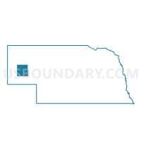
Outline

Summary
| Unique Area Identifier | 613641 |
| Name | East Camp Clarke Precinct |
| County | Morrill County |
| State | Nebraska |
| Area (square miles) | 145.68 |
| Land Area (square miles) | 145.45 |
| Water Area (square miles) | 0.23 |
| % of Land Area | 99.84 |
| % of Water Area | 0.16 |
| Latitude of the Internal Point | 41.53559740 |
| Longtitude of the Internal Point | -103.03449510 |
Maps


Graphs
Select a template below for downloading or customizing gragh for East Camp Clarke Precinct, Morrill County, Nebraska


Neighbors
Neighoring Voting District (by Name) Neighboring Voting District on the Map
- Broadwater Precinct, Morrill County, NE
- North Campe Clarke Precinct, Morrill County, NE
- Redington Precinct, Morrill County, NE
- Union Valley Precinct, Cheyenne County, NE
- West Camp Clarke Precinct, Morrill County, NE
Top 10 Neighboring County Subdivision (by Population) Neighboring County Subdivision on the Map
- East Camp Clarke precinct, Morrill County, NE (1,285)
- West Camp Clarke precinct, Morrill County, NE (556)
- North Camp Clarke precinct, Morrill County, NE (537)
- Union Valley precinct, Cheyenne County, NE (511)
- Broadwater precinct, Morrill County, NE (351)
- Redington precinct, Morrill County, NE (135)